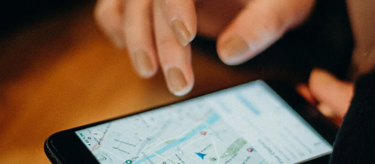
Add Accessibility Information To Maps
Ten minutes adding step-free entry and accessible toilet info to places you know - information someone is searching for right now.
- Cost
- Free
- Time
- Under 15 min
- People
- Solo / Duo, Small Group (3-6)
- Where
- Anywhere
- Bring
- A Google Account
Why this matters
Planning a trip as a wheelchair user or someone with limited mobility means verifying access for every venue in advance, usually by phoning each one. That research burden falls entirely on the person affected. Accessibility fields in map apps exist but are mostly empty - filling them in for places you already know converts an hour of phone calls into a single search.
How to do it
Open Google Maps, find places you know well, and fill in the accessibility questions. It asks directly: step-free entrance, accessible toilet, accessible seating, accessible parking. Most listings have none of this answered.
Where to start: the places you go weekly. Your regular café, the pub, the gym, the supermarket, your GP surgery. You already know the answers.
What's most useful to record: - Step-free entrance, and whether there's a ramp or a step at the door - Accessible toilets, and whether they're actually usable or a cupboard with a grab rail - Whether the interior has room to move between tables - Hearing loops - Accessible parking nearby - Whether staff are willing and able to help
Do it accurately. A venue wrongly marked as accessible is far worse than one marked unknown - someone will travel there, arrive, and not be able to get in. If you're not sure, leave it blank or check next time you're there.
Other places this data helps: OpenStreetMap has detailed accessibility tagging used by specialist apps, and there are dedicated accessibility review platforms in most countries.
Best done as a group over coffee - between five people you'll cover a lot of the local area in twenty minutes, and it's more accurate because people correct each other.